Bike lanes in Sofia: where they run and how to use them
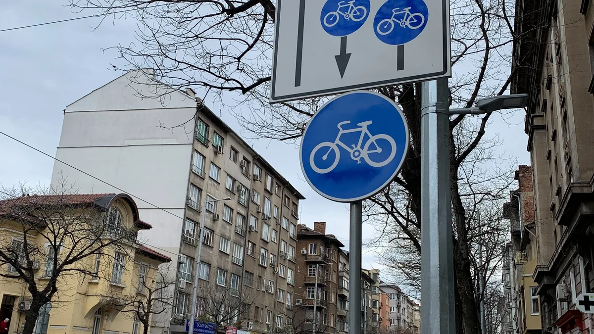
Sofia's bike-lane network is growing, but it's fragmented. Here's what to expect and how to make the most of it.
Where there are bike lanes
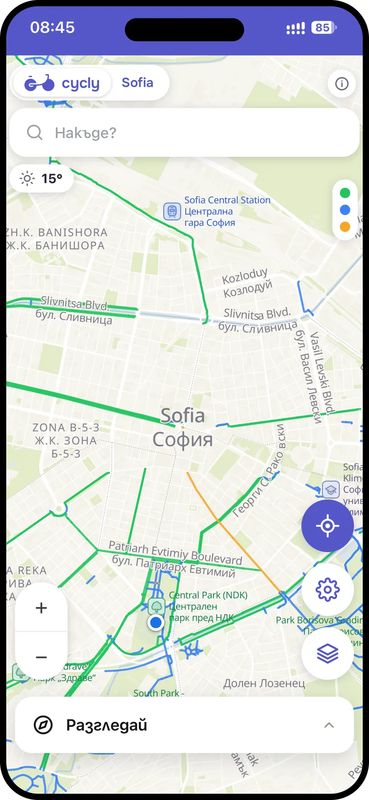
There are separated and marked sections along some boulevards, connections through the parks and paths towards Vitosha. The network isn't continuous, though - in places a lane ends abruptly and you continue on the street. Cycly uses the bike-lane data from BAEM and OpenStreetMap to route mainly along them.
Types of bike lane
- Separated - physically divided from cars; the safest.
- Painted on the roadway - paint only; watch for opening doors and parking.
- Shared paths - in the parks, together with pedestrians; ride calmly.
How to use them safely
- Expect breaks - slow down at the end of a lane before you rejoin the roadway.
- On shared park paths give way to pedestrians.
- Beware of cars parked on the lane - a common hazard.
See the map in Cycly
In Cycly you can simply browse where the bike lanes run across the whole city, and when planning a route the app prefers to lead you along them.
How to handle the gaps
Because the network isn't continuous, the key skill is linking the sections. When a lane ends, slow down, look around and rejoin the road smoothly; at the next convenient point look for where it continues. Cycly does exactly this for you - it connects the existing bike lanes with the calmest possible streets in between, so you're not left stranded on a busy boulevard.
Seasonal notes
After winter and after roadworks the surface on the lanes changes - potholes and gravel appear. The community's live reports in Cycly help you avoid them before you reach them.